Tiếng Việt
 English
Places
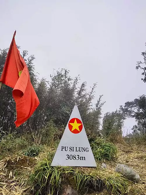
Pu Si Lung peak
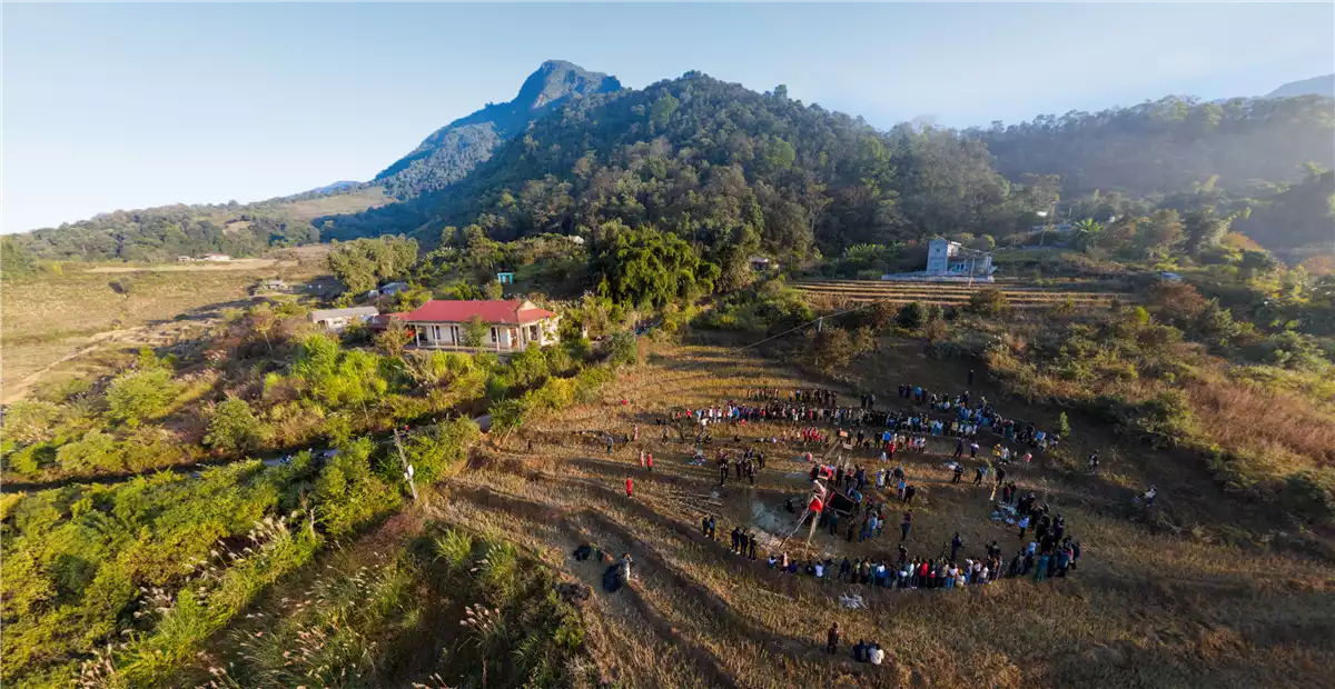
In the far north are the towering mountains guarding the border. With majestic and majestic beauty, these mountains are always on the list of many people to conquer. In which, it is impossible not to mention the peak of Pu Si Lung - the second highest mountain in Vietnam. Although the journey to conquer Pu Si Lung peak is a bit arduous. But certainly not stopping the footsteps of those who are passionate about exploring.
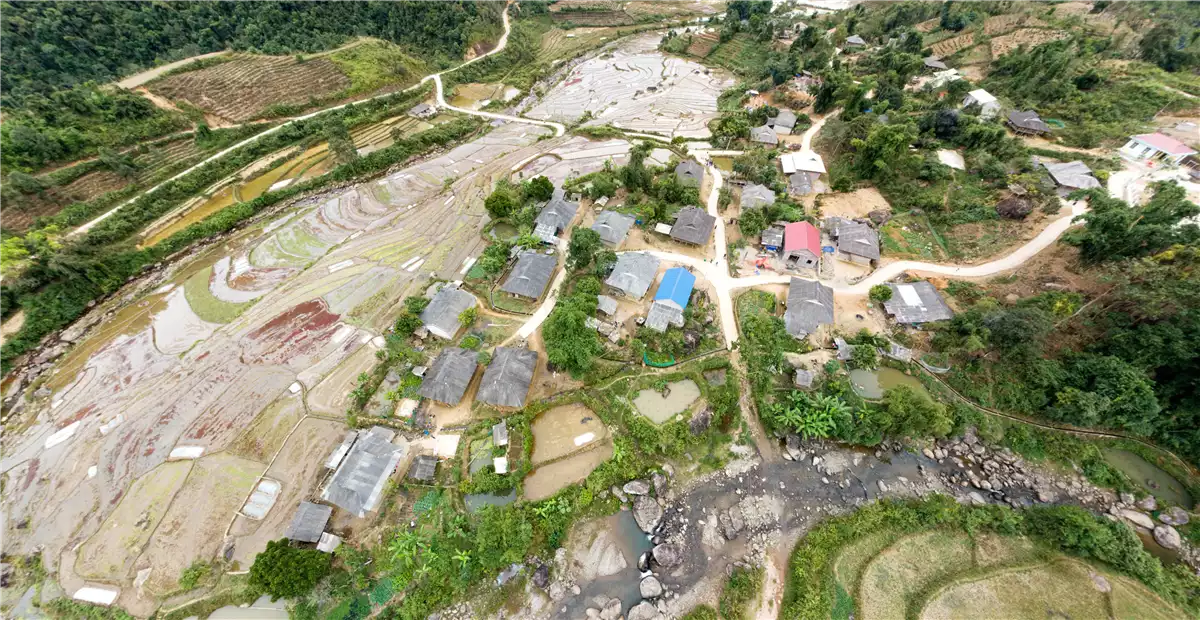
Located close to the Vietnam - China border, Pu Si Lung peak is located close to border marker 42 in Pa Ve Su commune, Muong Te district, Lai Chau province. Compared to Fansipan (3141m) and Pu Ta Leng (3096m), the height of Pu Si Lung ranks third. However, this is the most difficult mountain to conquer because the journey to the top is too long.
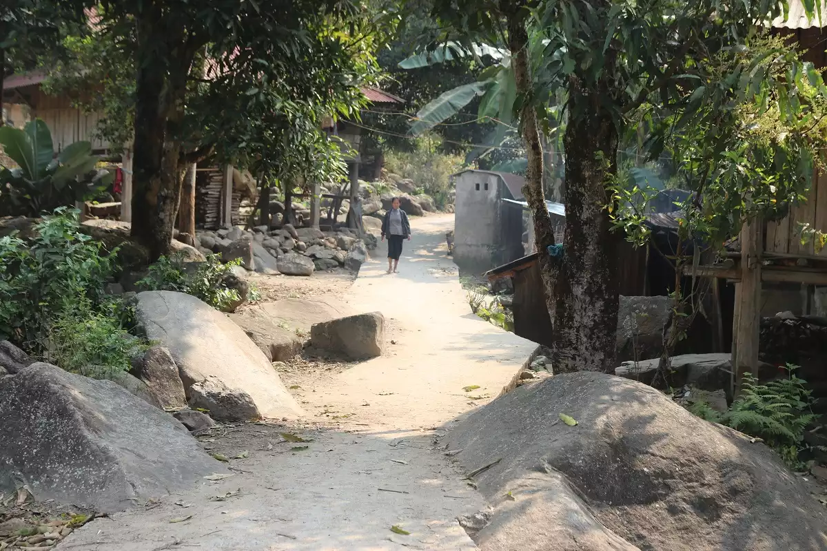
From the starting point of Pa Ve Su border post until reaching the top of Pu Si Lung, it takes climbers at least 3 nights and 4 days to cross 100km of forest road (both going and returning). It is a journey of climbing passes, crossing forests, crossing streams, going through many hardships, following large streams with many fierce rocks, and simple bridges made from broken tree trunks. Along with that are the rocky rapids, slippery, cold, making everyone's feet numb and must be very careful if you do not want to get wet.
Contacts
- Pa Ve Su commune, Muong Te district