Tiếng Việt
 English
Places
Da Giang
Ka Lang commune, Muong Te district, Lai Chau is where the mighty Da Giang river flows into Vietnam. Upstream of the Da River, along the banks of the two banks are strange and unique cliffs, relics of a thousand-year history marking their ancestors, and villages with the unique identity of the ethnic minorities. Along with that, there are traditional festivals and customs of indigenous people preserved for generations such as: Nang Han Festival, Then Kin Pang Festival, Festival, Ga Ma Beast...
Zooming in, looking around is the old forest space looming in the golden sunshine. Below is where the clear blue Nam Nap stream flows from the southwest to the confluence with the red Da River. It is also the Vietnam - China border line running along the median of Nam Nap stream and Da river starting from here.
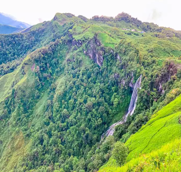
Indigenous people said that the upstream area of the Da River has a large flow of water, flowing on high sloping terrain, with many strips of rocky forest spreading across the water, creating rapids and whirlpools.
To locate and describe the ferocity and danger of the Da river, the ancients named each area: the river section between landmarks 17 and 18 is Keng Con, which means rolling rocks and sinking rafts; and the name Keng Mo - Waterfall of the Pan - is based on an oral story that tells that in the past, the Chinese used to cross the border to sell pans to ethnic people, each time passing through this area, the boat was heavy, encountering rocks and swirling water. boat capsized, many pans sank to the bottom of the river.
Not only known as the arterial road connecting the Northwest and the lowlands, Da River is also associated with the image of Thai ethnic villages, Ha Nhi, La Hu, Si La, Nhon, Mang, Mong and Muong from Muong Te. , Nam Nhun (Lai Chau) to Muong Lay, Dien Bien. Each village and wharf contains old stories.
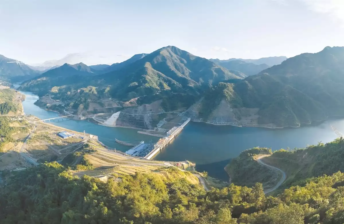
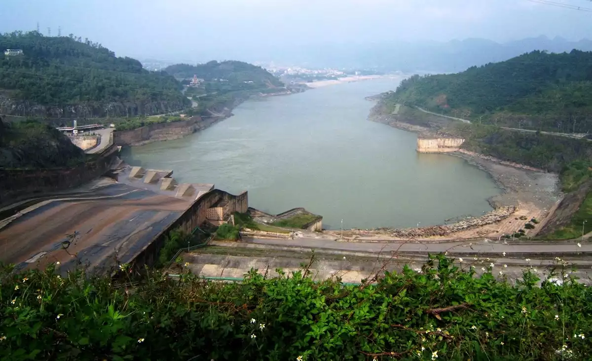
The closer to the town of Nam Nhun, Lai Chau, the more gentle the riverside slopes become, partly because the Lai Chau hydropower project prevents the reservoir water from accumulating. In the eyes of travelers, the scenery does not lose its inherent wild beauty.
Through Lai Chau hydroelectric power station, the water surface of the Da River suddenly changed to a green color as if guiding tourists to the monument of Le Loi stele and the temple of King Le Thai To, the first king of the Le dynasty. put down the Cat Han Pass rebellion in 1431.
After nearly 600 years, the stele engraved by Le Loi in 1432 to deter traitors still standing on the Da River is a brilliant landmark affirming the country's sovereignty.
Contacts
- Ka Lang commune, Muong Te district, Lai Chau province